
Land
Surveying
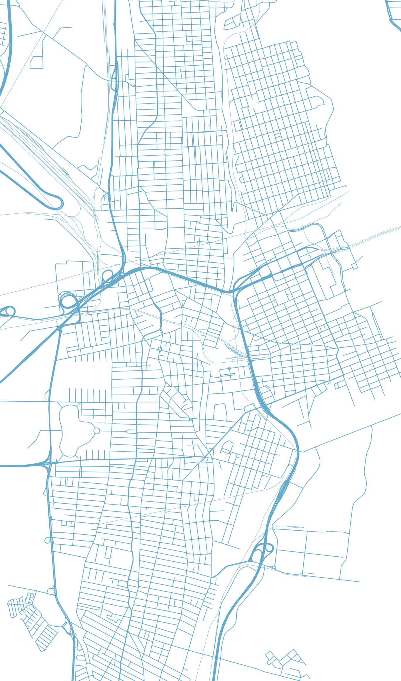
As a leading provider of land surveying services in northwest Washington state, Jepson & Associates proudly offers a comprehensive range of services to meet the diverse needs of our clients in Whatcom, Skagit, Snohomish, Island, and San Juan counties. Our team of highly skilled professionals is dedicated to providing accurate and reliable information while applying the highest industry standards to the services we offer:
Boundary Surveys
Boundary surveys are invaluable in protecting your investment and ensuring peace of mind.
Our boundary surveys cater to both residential and commercial clients.
Our surveys encompass projects of all sizes.
We carefully examine deeds and other records in order to accurately determine and mark your property lines. We identify any encroachments or potential disputes, helping you avoid costly legal issues down the road. This valuable service allows you to focus your attention elsewhere, knowing your property boundaries are accurately established and documented.
Topographic Surveys
Topographic surveys help clients better understand the relationships between geographical features, improvements and various factors, such as land use and environmental conditions. This is especially crucial for architects, engineers and planners in designing and developing your property, supporting informed decision-making and promoting sustainable land development practices.
Contour Mapping: Our contour mapping services deliver detailed, accurate representations of your land's terrain.
Bathymetric Mapping: Contours don’t stop at the water's edge; we also specialize in mapping underwater topography.
Utility Mapping: Our maps can include detailed information on the location of underground and above-ground utilities. This crucial data helps prevent accidents, minimize service disruptions, and facilitate efficient project planning and execution.
Existing Conditions/Base Mapping: Typically used as the foundation for development/land use projects, these maps provide a comprehensive view of your project area, showcasing natural and manufactured features (improvements) pertinent to your project.
Site Plans: These maps depict a combination of existing and proposed features as well as jurisdictional regulation boundaries/setbacks and are necessary for the permitting of many projects.
ALTA/NSPS Land Title Surveys
Our ALTA/NSPS land title surveys provide the detailed reports that title insurance companies, lenders, and attorneys require. These thorough surveys ensure that all parties clearly understand the property’s boundaries, encumbrances, and other pertinent details.
Legal Descriptions, Easements, Right-of Way
We are skilled in working with easements, rights-of-way and legal descriptions, providing vital data for property owners, developers, and utilities. We assist in establishing, revising, and recording these binding legal agreements, safeguarding your property rights and interests.
Project Process
Typical Boundary Survey

Field work performed

Data imported

Project billing

Transmittal of materials
Related Posts


Jepson & Associates is committed to providing top-notch land surveying services throughout northwest Washington state. Our extensive range of services, from boundary surveys to GIS mapping and analysis, ensures that we can meet the unique needs of our clients in Whatcom, Skagit, Snohomish, Island, and San Juan counties. With our team of land surveying experts, you can trust us to deliver accurate, reliable information that supports your property investment and development goals. Contact us today to learn more about how our land surveying services can benefit you.
Glossary of Land Surveying Terms
-
To touch or be adjacent to. In surveying, it refers to properties or parcels of land that share a common boundary.
-
A legal right granted that allows a person to cross or use another person's land for a specified purpose, often for reaching another property.
-
The closeness of a measurement to its actual value.
-
An acre is a unit of land area equivalent to 43,560 square feet or about 4,047 square meters.
-
A piece of land or property adjacent or contiguous to another.
-
A legal principle allowing an individual to claim ownership of a piece of land they've occupied without the owner's consent, provided certain conditions are met over a specified period.
-
A national association that represents title insurance companies. In land surveying, ALTA surveys adhere to specific standards set by the association, ensuring detailed reporting of property boundaries, easements, and other relevant features.
-
The study and measurement of the depths of oceans, seas, or other large water bodies. It's akin to topography but for underwater terrains.
-
A fixed point of known elevation used as a reference in topographical surveys and elevation measurements.
-
A legal document that confirms or conveys ownership rights to a piece of property.
-
Any unauthorized intrusion or advance upon another's property, often related to a building, fence, or other structure.
-
Any claim, lien, or liability attached to a property that may hinder its transfer or lessen its value.
-
A marker, usually a piece of fabric attached to a stick or wire, used in surveying to mark a specific point or location.
-
A digital system designed to capture, store, analyze, and present spatial or geographical data.
-
The individual or entity to whom a property is sold or granted.
-
The individual or entity who sells or grants a property.
-
A recognizable and often historically significant feature or structure on a landscape that can be used for navigation or identification.
-
A system of describing land or property boundaries using physical features of the locale, distances, and angles.
-
A physical structure or marker, often made of metal or stone, placed at a specific location to mark boundary corners or other essential survey points.
-
A distinct piece of land, defined by boundaries, owned, or set to be developed as a unit.
-
Specific reference locations along a boundary or other linear feature are often used in the surveying process to determine or verify a line's path.
-
The consistency or repeatability of measurements, indicating the level of variation one might expect when taking multiple measurements of the same feature.
-
The revisiting and measuring of a previously surveyed area, often to reestablish or confirm boundaries.
-
The detailed study, mapping, or description of the features, both natural and man-made, of an area. It represents the terrain's elevations, depressions, and contours.