
Land
Use
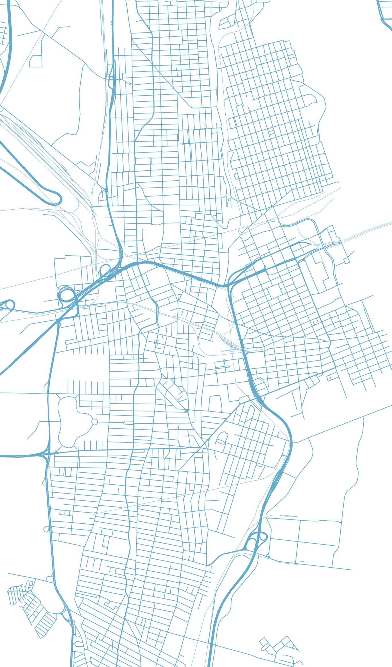
At Jepson & Associates, we provide land use surveying support for property owners, builders, developers, and project teams throughout Northwest Washington. If your project involves subdividing land, adjusting lot lines, preparing a site plan, or navigating local land use requirements, our team can help provide the survey information needed to move it forward.
We assist clients with land use projects in Whatcom, Snohomish, Skagit, Island, Kitsap, and San Juan counties, with a focus on accurate work, clear communication, and practical guidance from start to finish.
Our Land Use services support a wide range of project types, including:
Short & Long Plats: Short and Long Plats are means of subdividing land into multiple lots in accordance with applicable planning codes and zoning regulations. A subdivision is often considered a Short Plat when the proposed land division culminates in four or fewer lots. A subdivision is regarded as a Long Plat when the number of lots created amounts to five or more. The start-to-finish process for both types of subdividing is similar, as applicants address utility, access, and environmental considerations. Long Plats, however, tend to entail a more extensive list of requirements and review considerations, including, but not limited to, a SEPA Environmental Review and public comment periods.
Plat Alterations: A Plat Alteration is the process of modifying a recorded plat to adjust lot boundaries, create new lots, or make changes to correlating restrictions, dedications, or easements. To ensure that proposed changes adhere to present-day planning and zoning regulations, a Plat Alteration Application is submitted to, reviewed, and approved by your local City or County Planning Department.
Boundary/Lot Line Adjustments: A BLA/LLA is a land use process used to legally reconfigure property lines between two or more adjacent parcels without creating new lots. BLA/LLAs are often sought to correct boundary discrepancies, resolve encroachments, and achieve a more favorable lot design between landowners.
CaRDs: Conservation and Reserve Developments (CaRDs) are a special form of land division in Skagit County Code. CaRDs are designed to balance development with environmental preservation. CaRDs allow property owners to achieve higher density development on smaller buildable lots than what the zoning designation would typically permit. This is achieved by concentrating development in a specific area of the property while designating a portion of the property as protected “Open Space” to preserve natural features of the land, such as wetlands, wildlife habitats, and scenic views. CaRDs can support the protection of natural resources, maintain the character of rural areas, and provide flexibility in land use planning to ensure sustainable growth and environmental stewardship.
Site Plan Creation: Site Plans are generally exhibits created to communicate existing or proposed elements of a project area and vary in degree of detail and focus content depending on the project scope. Site Plans often depict existing and proposed locations and specs for utilities, roadway and access infrastructure, buildings, parking areas, and natural features such as trees and wetlands. Depending on your project, a site plan may also include details for landscaping, fencing, exterior lighting design, and signage. Site Plans can be a useful tool to assess, confirm, and communicate cohesion between myriad project elements.
Binding Site Plans: A Binding Site Plan (BSP) is an alternative method of land division limited to industrial or commercial use and specific residential developments, such as condominiums and mobile home parks. Requirements of a Binding Site Plan are determined by your local government and their adopted procedures for review and approval. BSPs often depict key elements of a development plan, such as property boundaries, easements and right-of-ways, proposed structures, utility infrastructure, and other relevant design features. A Binding Site Plan is a legally binding document that gets recorded with the County Auditor and establishes legal lots of record.
Condominiums: Condominiums allow for the division of structural property into individually owned units with shared ownership of common areas such as land, amenities, or infrastructure. This process requires compliance with local zoning, building codes, and condominium laws, ensuring proper land use and management of shared spaces. Condominiums provide a flexible option for residential, commercial, or mixed-use developments.
Traditional condominiums involve individually owned units within a shared building structure and land, where ownership includes both the unit and a share of the underlying property. Air space condominiums, on the other hand, define ownership by specific volumes of space, often above or below other units, with no direct ownership of the land beneath. This distinction allows air space condos to accommodate more complex, mixed-use developments like stacked buildings or multi-tiered urban projects.
Critical Areas Mapping: Maps created in partnership with Critical Areas Specialists to assist in the delineation of a site’s environmental features, such as wetlands fish and wildlife habitats, and geologically hazardous areas. These maps help to assess site features and development plans in relationship to critical areas and their buffers.
Subdivision Surveys
Urban Subdivisions: We are experts in urban subdivision surveys. We're here to ensure your property boundaries, easements, and other vital elements are accurately mapped out, all in line with local rules and standards.
Rural Subdivisions: Our expertise is valuable in addressing the unique challenges of developing and splitting land in less populated areas while respecting environmental and zoning guidelines.
Easements and Right-of-Way Services
We are skilled in identifying easements and rights-of-way, providing vital data for property owners, developers, and utilities. An easement grants a person or entity a legal right to cross or otherwise use someone else’s land for a specified purpose.
Easements play a pivotal role in balancing the needs of landowners, developers, and the public as they navigate overlapping interests in spaces, structures, and utilities. A Professional Land Surveyor can assist in the creation of an easement by providing a written legal description and map exhibit for the subject property. An attorney will need to generate the appropriate deed document to combine with the legal description(s) and map exhibit produced. Once complete, the documents can be recorded with the County Auditor. In time, an easement may need to be extinguished due to abandonment, expiration, or misuse. A written agreement can be signed or the easement holder can release the easement on their own.
Right-of-Way (ROW) vacation is a legal process in which a government authority, such as a City or County Planning Jurisdiction, relinquishes public rights to a designated public right-of-way. This typically involves streets, alleys, or easements that are deemed to be no longer needed for public use. The vacated land can then be integrated into adjacent properties or repurposed for private development.
Cadastral Surveys
As specialists in cadastral surveying, we deliver a wide range of services to suit your land development and management needs, including:
Topographic Surveys: Our topographic surveys provide accurate and detailed data on your property's terrain and features, letting you make informed decisions and effective planning for land development.
Construction Surveys: We supply construction surveying services to help ensure your project sticks to the approved plans and specifications, avoiding costly mistakes and delays.
As-Built Surveys: Once your project is complete, our as-built surveys verify that all construction work aligns with design specifications, providing you with the necessary documentation for permit approvals and project handovers.
High-Definition Scanning (HDS) Surveys: Our HDS surveys produce highly detailed and accurate 3D models of your property, supporting various applications like infrastructure planning and facility management.
Drone Surveying: Our drone surveying services are an efficient, economical way to obtain high-quality aerial images and data, providing invaluable insights for land development and environmental analysis.
Legal Descriptions and Deed Research: Our team prepares accurate legal descriptions and conducts in-depth deed research, ensuring that property transactions and land transfers are performed confidently.
At Jepson & Associates, our commitment lies in providing clients across northwest Washington State with a comprehensive suite of land use planning and permitting services. Our experienced team's rigorous attention to detail and commitment to customer satisfaction sets us apart as your go-to choice for all your land division surveying needs. Contact us today if you are looking for a professional land surveyor for land development.
Project Process
Land Use

Project Setup, schedule confirmed

Application(s) submitted

Process agency comments

Pursue final approval, address conditions
Related Posts


At Jepson & Associates, our commitment lies in providing clients across northwest Washington State with a comprehensive suite of land division surveying services. Our experienced team's rigorous attention to detail and commitment to customer satisfaction sets us apart as your go-to choice for all your land division surveying needs. Contact us today to learn more about how we can contribute to your upcoming project.
Glossary of Land Use Terms
-
A collection of lots, often bounded by streets, that form an integral part of a subdivision. It's an essential unit in city planning and layout.
-
An easement is a legal right that allows a party, which can be a person or an entity, to use another party's land for specific purposes, like access or the placement of utilities, without transferring ownership of the land.
-
In the context of land and property, a grant refers to the legal transfer of property rights. It is often formalized through a document such as a deed.
-
The legal description provides a meticulously written account of a property's boundaries. This description identifies a specific parcel of land distinctly, making it a fundamental element in deeds, contracts, and various legal documents.
-
The term "long plat" refers to a more intricate subdivision process designed for substantial developments. This process typically involves a thorough review and results in the creation of numerous lots, often accompanied by the development of roads, utilities, and additional amenities.
-
An individual parcel of land, typically part of a larger subdivision or block, intended for development or sale. Each lot is distinct and legally defined with specific boundaries.
-
A type of easement that allows individuals, like the public or specific entities, the right to travel across property owned by another party. It can also refer to the land set aside for roads, railways, or other transportation methods.
-
A simplified subdivision process typically used for creating a limited number of lots. The exact number may vary based on local regulations but is often fewer than four.
-
The division of a parcel of land into smaller lots, blocks, or sites, usually with the intention of selling them individually. It often involves the creation of roads, utilities, and other infrastructure.
-
A set of regulations and laws that define how specific geographic zones or areas of a city or county can be used. These codes dictate the type, size, and purpose of structures allowed, aiming to organize land use to balance the needs of communities with urban development.